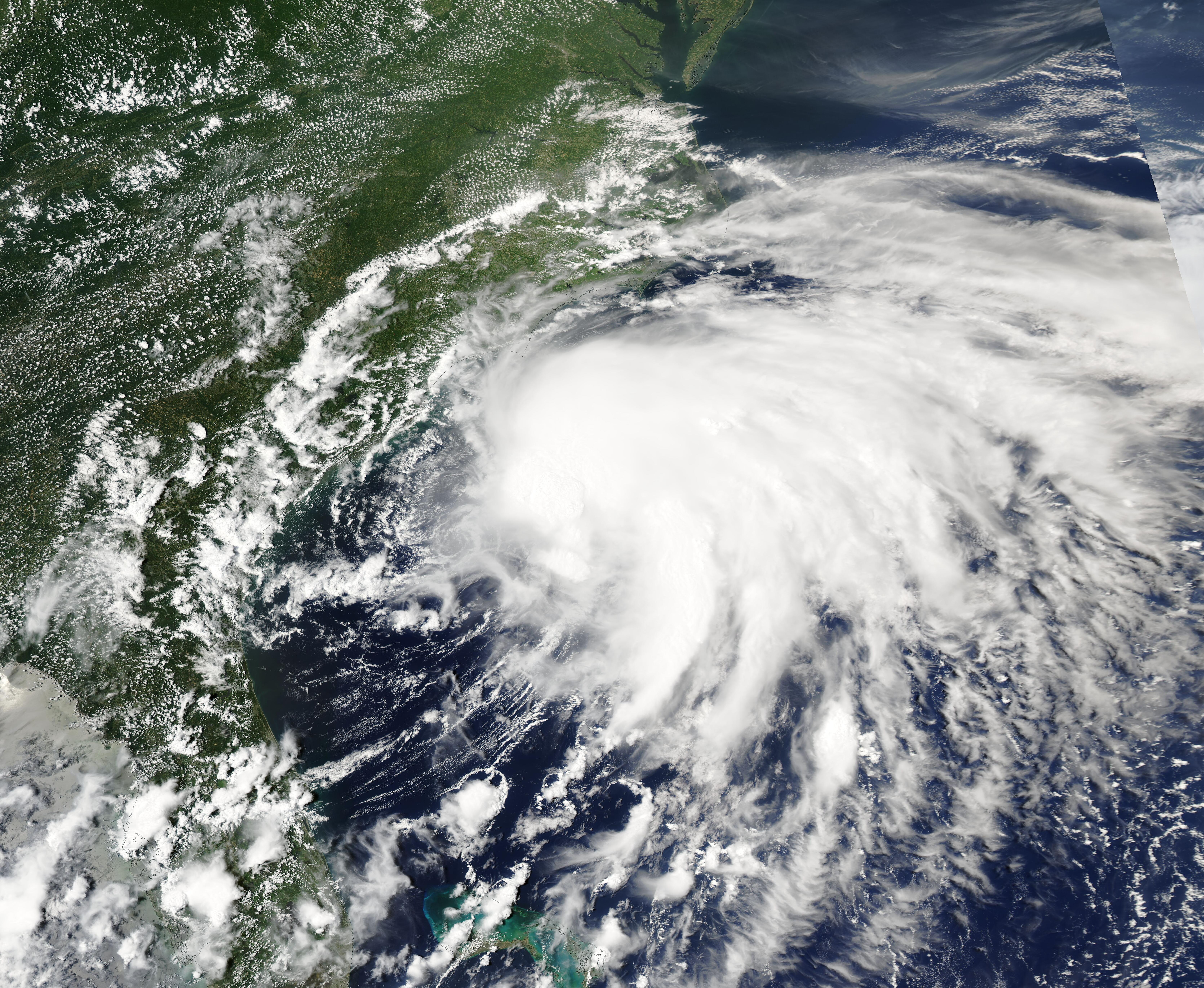
Tropical Storm Isaias will push heavy rain into the Fort Mill, Tega Cay and Lake Wylie area starting late Saturday, Oct. 10, with the worst of it expected Saturday night through Sunday, Oct. 11.
The storm strengthened into the first hurricane of the 2026 Atlantic season late Wednesday, Oct. 7, with maximum sustained winds around 75 mph, the Associated Press reported. Forecasters expect Isaias to make landfall between the Mississippi coast and the Florida Panhandle late Friday or early Saturday as a Category 1 or 2 hurricane. Its center will stay well west of the Carolinas.
The local threat is rain, not wind damage.
The Herald Online, citing the National Hurricane Center, reported that 1 to 3 inches of rain are possible across the Southeast and into the Carolinas, with localized amounts up to 5 inches. Flash flooding, urban flooding and isolated river flooding are all possible, the center said. A Wednesday rainfall map from the hurricane center showed Mecklenburg and surrounding counties, including York County, could see up to 2 inches.
When the rain arrives
Saturday morning should stay dry in Fort Mill. The National Weather Service forecast for Fort Mill calls for showers becoming likely Saturday afternoon, with a high near 70 degrees. Rain continues Saturday night, with a low around 60.
The heaviest window is Saturday night into Sunday. The NWS office in Greer, S.C., identified Saturday night as having the strongest combination of ingredients for heavy rain, including deep tropical moisture and a strengthening low-level jet. A small risk of severe thunderstorms exists mainly Sunday afternoon, particularly south and east of I-85.
Sunday's forecast calls for showers throughout the day, with a high near 75. Thunderstorms are possible Sunday night before conditions begin to taper.
Not another Helene
NWS forecaster Mike Rehnberg of the Greer office told The Charlotte Observer on Wednesday, Oct. 7, that the storm will not approach the intensity of Hurricane Helene, which devastated western North Carolina in September 2024.
"Nothing cataclysmic with this one is expected in the region," Rehnberg said.
AccuWeather urged Carolinians to stay alert to possible flash flooding, mudslides and tornadoes Sunday into Sunday night. AccuWeather hurricane expert Nicholas Arman warned that terrain in the Carolinas can turn tropical rainfall into dangerous flooding quickly, even in communities hundreds of miles from the coast.
What residents should watch for
Cool air will wedge into the area as the rain moves in, dropping highs into the 60s to lower 70s on Sunday, according to WBTV. That marks a roughly 10-degree drop from the above-normal warmth expected Thursday and Friday.
No statements from York County Emergency Management, Fort Mill police, Tega Cay police or the York County Sheriff's Office addressing Isaias preparedness had been released as of Thursday morning.
Rain is expected to taper by Monday, Oct. 12, with drier conditions returning Tuesday, Oct. 13.